‘Tremendous loss’: Arctic Sea ice shrinks to 2nd lowest level ever
Published 17 Sep, 2016 04:54
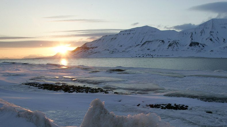
The ice layer of the Arctic Sea has reached its minimum extent last week, the second lowest point in the satellite-tracked record, just above the absolute minimum recorded back in 2012.
The lowest point of ice coverage was reached on September 10, National Snow and Ice Data Center (NSIDC) revealed after studying satellite data. The frozen layer on that day stood at 4.14 million square kilometers (1.60 million square miles), compared to the lowest record reached on September 17, 2012 when the satellites registered 3.39 million square kilometers (1.31 million square miles).
2016 #Arctic sea ice minimum ties with 2007 for 2nd lowest. https://t.co/VDSGA90y4Upic.twitter.com/pjXf7fdHzF
— NSIDC News (@NSIDC) September 15, 2016
The September 10 reading was the second lowest recorded level of Arctic ice in the 37-year satellite record bookkeeping. The third lowest reading was recorded on September 18, 2007, at 4.15 million square kilometers (1.60 million square miles).
Ice coverage of the Arctic expands each autumn and winter, but shrinks each spring and summer, with the lowest point of frozen water in September. NSIDC scientists attributed this year’s rapid meltdown to “extra heat in the upper ocean,” with signs most evident in Chukchi Sea, northwest of Alaska.
“On average, the Arctic lost 34,100 square kilometers (13,200 square miles) per day compared to the 1981 to 2010 long-term average of 21,000 square kilometers (8,100 square miles) per day. The early September rate of decline also greatly exceeded the rate observed for the same period during the record low year of 2012 (19,000 square kilometers, or 7,340 square miles, per day),” NSIDC said in the press release.
NSIDC scientists said that reduction in ice level may also relate to the impact of two strong storms that passed through the region during August.
“In the past, we had this remaining sea ice pack that was mostly thick, old ice. But now everything is more jumbled up, which makes it less resistant to melt, so even late in the season you can get weather conditions that give it a final kick,” said Walt Meier, a sea ice researcher with NASA.
“It really suggests that in the next few years, with more typical warmer conditions, we will see some very dramatic further losses,” added Ted Scambos, NSIDC lead scientist.


