2 inches a month: California sinking faster than ever, infrastructure in danger

The rate at which land across vast areas of California are sinking due to overconsumption of groundwater is higher than ever, with some places subsiding two inches a month, a new NASA report says. It comes as the state’s farmers pump water faster amid the historic drought.
While California has been sinking for decades, the current rate is among the highest ever measured around the world. The alarming findings of NASA’s Jet Propulsion Lab are based on satellite and aerial photos and measurements of land subsidence in the state.
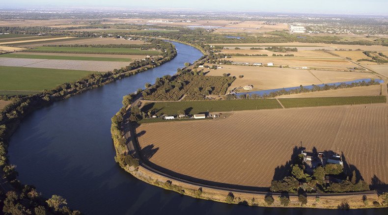
An area near Corcoran, in the Tulare basin, sank 13 inches in one recent eight-month period, according to the study conducted for the State Department of Water Resources. A stretch near the California Aqueduct, a key leg of the state canal and pipeline system that brings freshwater from the Sierra Nevada Mountains, sank 8 inches in just four months last year.
California drought causing valley land to sink. Info: http://t.co/QVDFG7ioza#EarthRightNow#CAdroughtpic.twitter.com/4cp6vGvYWl
— NASA JPL (@NASAJPL) August 20, 2015The problem is not limited to the San Joaquin Valley, the most arid part of the Central Valley of California. Land near Arbuckle in Colusa County sank five inches during the last half of 2014, the NASA report said.
Heavy pumping of groundwater causes clay between water pockets to collapse and ground to sink. This may damage critical infrastructure and also makes it harder for groundwater reservoirs to replenish. It may also hinder water from flowing through its natural underground pathways.
“Roads can be broken by fissures, pipelines have been exhumed, and the slope of the land can be altered, changing drainage patterns,” the NASA report warns.
Groundwater consumption remains at a historic high amid the drought, while its levels are dropping to record lows of up to 100 feet below previous measurements, says Mark Cowin, head of the California Department of Water Resources.
Californians opting for 'gray water' recycling amid drought - report http://t.co/cQI2Hb9VKapic.twitter.com/55WXGoaHTh
— RT (@RT_com) June 6, 2015“We are pumping at historic levels,” Cowin said in a statement cited by AP. “Groundwater acts as a savings account to provide supplies during drought, but the NASA report shows the consequences of excessive withdrawals as we head into the fifth year of historic drought.”
“We will work together with counties, local water districts and affected communities to identify ways to slow the rate of subsidence and protect vital infrastructure such as canals, pumping stations, bridges and wells.”
California, a major farming state, has been reluctant to regulate groundwater pumping until Governor Jerry Brown signed a bill last year ordering local jurisdictions to draw up rules. Most areas have until 2020 to comply, with some able to postpone it till 2022.
“I don't think we can end overdraft or subsidence overnight," the governor said. "We do need to take action."


