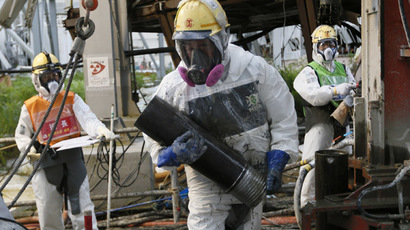

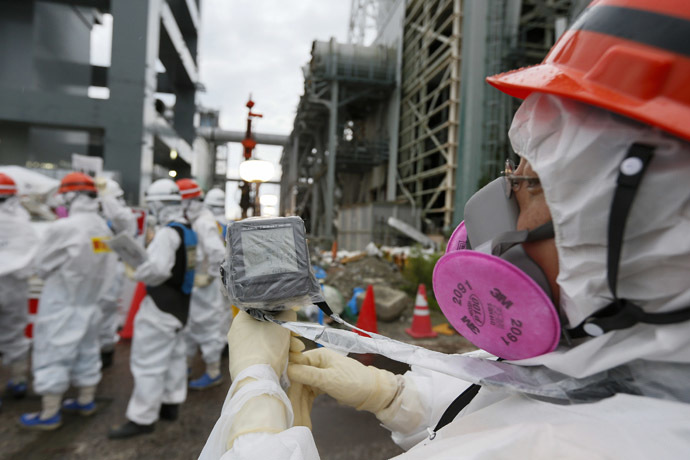
‘Paris-sized’ landslide may have sparked 2011 Japan tsunami
Published 27 Sep, 2014 14:01 | Updated 27 Sep, 2014 14:08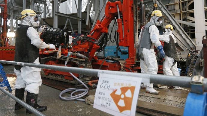
Flying in the face of the dominant narrative regarding the 2011 Fukushima disaster, a new study claims that a massive underwater landslide, and not an earthquake, was predominantly responsible for the tsunami that struck Japan on March 11, 2011.
The new study was led by Stephan Grilli, an oceanographer at the University of Rhode Island, Narragansett Bay. Grilli says movements along the Earth’s faults could not have disrupted the sea's surface in such a manner so as to focus a band of waves on just a few hundred kilometers of coastline, as occurred in 2011, the journal Science reports.
In order to test his hypothesis, Grilli and his colleagues studied surface motion recorded by gauges along the Japanese shore the day the tsunami struck. According to the journal, tsunami waves carry the imprint of the ocean floor disturbance that created them. Based on the data, the team said that during the earthquake, a slab of sediment with an area of 20 kilometers by 40 kilometers, and up to 2 kilometers thick, slid about 300 meters down the steep slope of Japan Trench, “acting like a piston.”
The team’s calculations pinpointed the scene of the incident, some 170 kilometers from the shore and at a depth of 4.5 kilometers. When marine geologist and co-author David Tappin, of the British Geological Survey, compared Japanese maps from before and after the earthquake, he was able to identify a suitable slump in the target area.
If correct, the target area would coincide with the most intense area of inundation – a 100-kilometer mountainous bay-dotted stretch called Sanriku – where tsunami waves reached a towering 40 meters. Roughly one-quarter of the tsunami’s 18,000 victims died in this area.
Experts have struggled to explain the extreme level of flooding that hit the area. Previous theories have attributed the massive tsunami to a second earthquake which was believed to have occurred north of the main thrust under the ocean.
While the team makes a compelling case, Costas Synolakis, a tsunami expert at the University of Southern California in Los Angeles, told Science they are a long way from changing the established narrative. Synolakis argues that with the heavy reliance on tsunami modeling, the team has potentially missed the forest for the trees.
“Anyone who thinks you can model the behavior of a tsunami to better than a factor of two is crazy,” he says.
If the team is correct that a submarine landslide was primarily responsible for the 2011 disaster, however, it would be a "game changer,” says team member Robert Geller, a seismologist at the University of Tokyo.
According to Geller, if collapses along the Japan Trench are also capable of triggering massive tsunamis, hopes of predicting the next event are next to impossible.
The team’s paper has been published in the journal Marine Geology.