65 injured as Typhoon Jelawat churns towards Japanese mainland (VIDEO)
Published 29 Sep, 2012 10:46 | Updated 29 Sep, 2012 16:01Typhoon Jelawat inched closer to the Japanese mainland on Saturday, the country's national weather agency said. The storm battered the southern Okinawa and Kagoshima prefectures, injuring dozens and leaving hundreds of thousands without power.
Violent winds of up to 234 kilometers per hour injured at least 65 people. Over 331,000 households suffered power outages, Russia’s RIA-Novosti news agency reported. Online video showed that the destructive gusts have flipped over cars, overturning a four-ton truck in Okinawa's Naha City and blocking a main road, adding to traffic chaos.
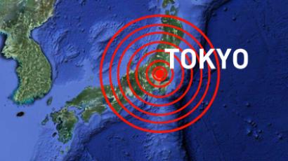
Flights and ferries in the region were canceled. Japan's Meteorological Agency reported the typhoon is moving northeast towards Tokyo at a speed of 30 kilometers per hour, with gusts and heavy rains expected in the Japanese capital on Sunday and Monday. By that time, Jelawat is expected to weaken and become a low-end (category 1) storm.
On September 20, a NASA satellite tracked Tropical Storm Jelawat forming in the northwest of the Pacific Ocean. Jelawat began as a tropical depression, and later intensified into a tropical storm east-southeast of Manila, Philippines. The cyclone slowly tracked west-northwestward over the previous weekend, bringing rains and gusty winds to the Philippines. Three days later, the cyclone intensified into a category four storm on the Saffir-Simpson scale – a powerful 'super typhoon' with maximum sustained winds of around 241 kilometers per hour – as it moved towards Taiwan. Jelawat maintained its intensity as it lingered for a few days south-southwest of Okinawa, Japan. On September 28, Jelawat had maximum sustained winds nearing 204 kilometers per hour, making it a category three typhoon. The storm is expected to weaken further before reaching Japan's mainland.


